Browse Items (1022 total)
Sort by:
The North Carolina Booklet: A Short Sketch of the Battle of Guilford Court-House From the Viewpoint of Results
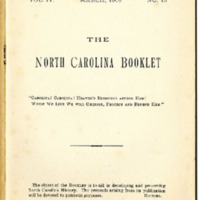
The North Carolina Booklet talks on the Battle of Guilford Court-House during the Revolutionary War.
Position: 719 (62 views)
Carolina
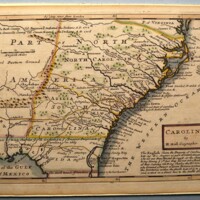
Hand-colored engraved map: Carolina. By H. Moll Geographer [Cartouche, lower right] | The English claim the Property of Carolina from Lat. 29 &c. Degrees as part of Cabot’s Discoveries who set out from Bristol in 1498, at the Charge of King Henry ye…
Position: 39 (174 views)
Eden Street, 200 block, east side
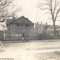
View of houses along the east side of the 200 block of Eden Street
Position: 345 (90 views)
Eden Street, 200 block, east side
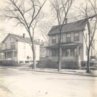
View of two houses along the east side of the 200 block of Eden Street
Position: 423 (82 views)
Northeast corner of Eden and South Front Streets
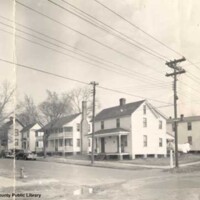
View of the northeast corner of Eden and South Front Streets with several automobiles parked along Eden Street.
Position: 434 (81 views)
Northwest corner of George and South Front Streets
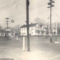
View of the northwest corner of George and South Front Streets taken from the southeast corner, showing houses, automobiles, street signs, traffic light, and business signs.
Position: 336 (92 views)
George Street, 200 block, west side, shows Nelson House on right
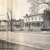
Row of houses along the 200 block of George Street. The house to the far right is the Nelson House, demolished during the restoration of Tryon Palace.
Position: 287 (101 views)
George Street, 200 block, west side, Daves House
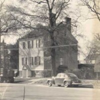
View of the Daves House along George Street with an automobile and truck parked along the street.
Position: 448 (80 views)
George Street, 200 block, west side, shows Palace West Wing
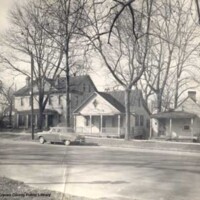
Three houses and an automobile along the 200 block of George Street. The house to the far left is the West Wing of Tryon Palace
Position: 392 (85 views)
George Street, 200 block, west side
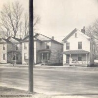
Three house along the west side of George Street
Position: 392 (85 views)
George Street, 200 block, east side
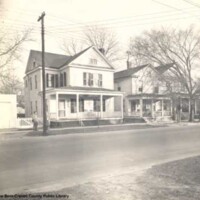
Two men talking on the sidewalk along the east side of the 200 block of George Street.
Position: 513 (76 views)
George Street, 200 block, east side, with automobile
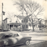
View of houses along the 200 block of George Street. An automobile and a tree are visible in the scene.
Position: 381 (86 views)
George Street, 200 block, east side
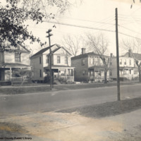
Houses along the east side of the 200 block of George Street, ca. 1950.
Position: 513 (76 views)
Northeast corner of George and South Front Streets, ca. 1950
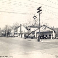
Service station located at the corner of George and South Front Streets, ca. 1950
Position: 638 (68 views)
North Carolina Vanceboro Quadrangle
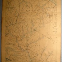
Lithograph, topographical map of “North Carolina Vanceboro Quadrangle.” US. Geological Survey Charles D. Walcott, Director [upper left corner above neat line] | “J. A. Holmes, State Geologist S. L. Patterson Commissioner of Agriculture. [center,…
Position: 326 (94 views)